Vintage Virginia Photos
Historic photos of Virginia Beach & Norfolk, Aerial photography of the Hampton Roads area including Virginia Beach and Norfolk, VA
Historic Virginia Beach
Historic Norfolk, VA
Mid-Century Aerial Photos
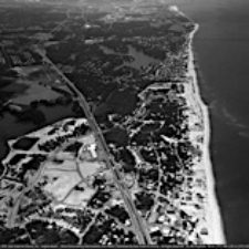
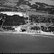
Virginia Beach Oceanfront
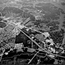
Downtown Norfolk
Shore Dr
Portsmouth
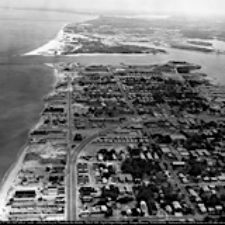
East Beach
Sandbridge / Croatan
All Aerial Photos Locations
Cart
Search
60s 70s Aerial Views of Hampton Roads Area
Search
Navigate through the Hampton Roads area, with aerial photos from the 60’s and 70’s, highlighting the changes to the area over the past 60 years
Willoughby Spit Aerial 01
Virginia Beach Oceanfront Aerial Photo
Virginia Beach Aerial Photos
Shore Dr Aerial Photos
Sandbridge Aerial Photos
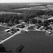
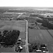
Pungo Courthouse Aerial Photos
Lynnhaven Pkwy Aerial Photos
Laskin Rd Aerial Photos
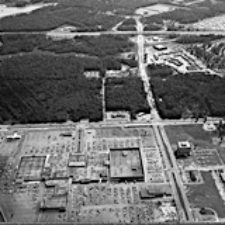
Independence Blvd Aerial Photos
Great Neck Aerial Photos
First Colonial Aerial Photos
East Beach Aerial Photos